Geo Tokyo Meetup 2026-11
Last week we had our November Edition of the Geo Tokyo meetup and it was a blast! For the first time we had a full house at the meetup. Thanks for FabCafe MTRL in Shibuya for hosting the meetup. It's very encouraging to see this community grow.
More excitingly, we were able to get the team from Eukarya to join and give a presentation on two of their mapping projects, Re:Earth and Navara. Eukarya work on many mapping projects, including GovTech projects which involve releasing Japanese open geo data to the public. Re:Earth and Navara are two platforms that they built to support these projects and are offered as free APIs.
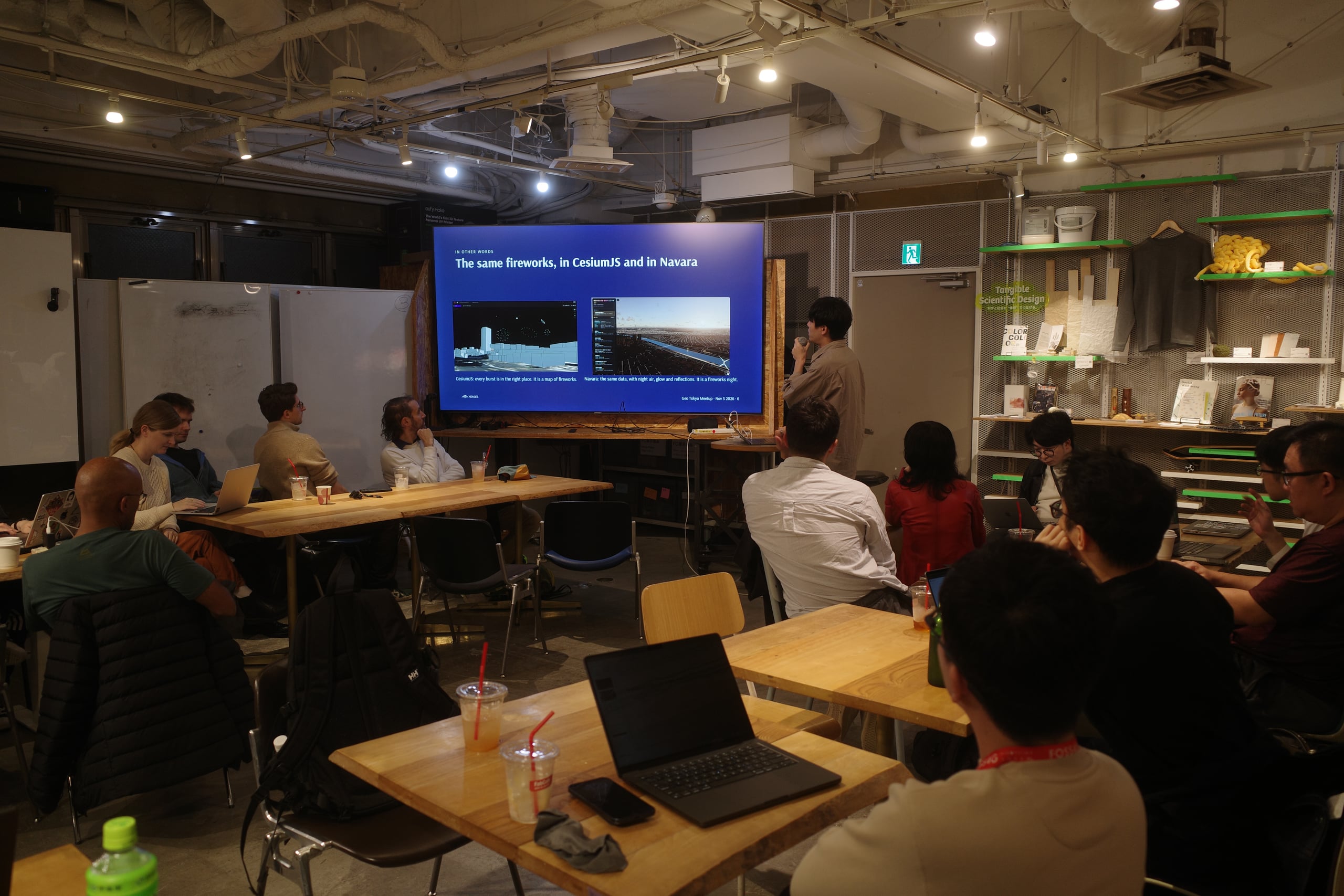
Re:Earth has just recently been rebranded as a full on GIS visualization product, but underlying it are three very useful APIs, Re:Earth Terrain, Re:Earth Buildings and Re:Earth Paper. Naoki-san took us through all three free APIs. Interestingly, these were built as written in Rust and then compiled to WASM to run on Cloudflare workers. They're able to serve these for free through a lot of heavy caching.
The other project, Navara, was another layer on top of this which is a 3D engine for combining geo data and 3D visualizations, so it exposes the underlying ThreeJS context and other things for you to write shaders and add your own objects rendered on the map. They can make some impressive simulations like this one about the Atomic Bomb over Hiroshima
Check out their sprawling Eukarya Github account for more goodies and demos. Thank you so much to their Kenya-san (CEO), Keiya-san and Hiroki-san to come to the meetup and share with us their work in English! Bonus, check out Kenya's Twitter with links to cool maps.
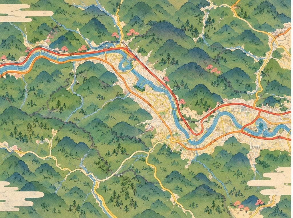
A big part of Geo Tokyo has been live demos, Grisha, Thomas and myself gave live demos of some maps we were making. Grisha showed a map of combining ordinance survey maps in a modern UI and being able to make a custom map to overlays interesting data from different sources of his choosing. Thomas is working on a startup providing geo embeddings that are updated on a weekly basis for monitoring changes.
I demoed the latest updates of Snowline on the fusing of OSM, OpenSkiMap, GSI Japan and Snowline data into two different types of maps, one I've talked about previously, making these Diorama maps, and one I will soon post about called the Snowline Sim.